New maps for tracking Southern rust in corn (repaired link)
Southern rust is caused by a fungal pathogen that does not overwinter in Illinois. Instead, it blows in from warmer regions during the growing season. When conditions favor spread and development of this disease significant damage can occur, especially if it arrives before tasseling (VT). For more information on Southern rust, check out the Crop Protection Network publication by clicking here. Yesterday our colleagues detected this disease in Southeast Missouri. With the hurricane/tropical storm remnant pushing northward, and warm weather forecast, there is a good chance we could see some movement into the Southern / Western part of the state within the next 7-10 days, and there may be some in Southwest Illinois already. Scouts should be keeping their eyes out for this disease, as things can escalate quickly. Suspect samples should be sent to the University of Illinois Plant Diagnostic Clinic for confirmation. Images can also be sent to me via twitter @ILplantdoc, or email at nathank@illinois.edu.
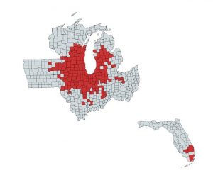
We have a new tracking system for rusts in corn that we are using this year. To access the maps click here. These maps are very useful for tracking a disease that does not overwinter in the area as it needs to spread, establish, and produce more spores to move, unlike diseases that overwinter on residue, alternate hosts, etc. That means you can see the disease spread and know if you are at risk for it moving into your area. If your fields are at a critical point in growth, and the disease is detected nearby, in season management can be considered, and unneeded treatments avoided. We also have a tar spot map. This disease overwinters in the region, and little is known about disease movement and spread within a season. Data indicate it can move at least from field to field; however, after last season there is reason to believe it may move longer distances, but we simply are speculating at this point. This map therefore can tell you when the disease is starting to be detected in certain regions, and also if the disease has been detected in new counties. For more on tar spot click here.